Quantifying Biogeochemical Cycles of Sub-Arctic Agroecosystems and Forecasting Future Scenarios
Expedition Location: South Greenland
Expedition Dates: June 8 – June 23, 2026
Field Team Members: Jasmine Saros, Robert Northington1,2, Kiley Daley2, Daniel Hayes, Amanda Gavin, Avery Lamb, Thomas Grindle, Margaret O’Brien, Elizabeth Wasylyk1, Heather Vingsness3
1 Department of Biology and Environment Science, Elizabethtown College, Elizabethtown, PA
2 Climate Change Institute Affiliate
3 University of Michigan Museum of Natural History, Ann Arbor, MI
Funding Support: NSF Award No. 2518806
Introduction:
Accelerated warming in the Arctic has allowed for expansion of agriculture due to longer growing seasons. However, warming in the Arctic has also occurred in conjunction with the intensification of the Arctic hydrologic cycle (Holmes et al. 2021; McCrystall et al. 2021; Arp et al. 2020). Globally, heavy precipitation events are becoming more frequent as the climate warms (Coumou & Rahmstorf 2012), while warmer temperatures also lead to increased evapotranspiration. Therefore, a given region may experience periods of both intense wetness and drought. Unpredictable hydroclimate variability is having large implications for agriculture in the Arctic which relies on freshwater availability. Instanes et al. (2016) identified water-related information on consumption, irrigation, flow rates, and climate impacts as a major knowledge gap for water resources. They underscored a need for greater knowledge of climate effects on water quality and groundwater, which is currently insufficient for adequate water resource management of Arctic systems.
The sub-Arctic region of South Greenland encompasses the merging issues of climate driven agricultural expansion and the intensification of the Arctic hydrologic cycle. South Greenland, the first known example of agriculture in the Arctic, now is home to more than 40 sheep farms. An immediate concern highlighted by sheep farmers interviewed in 2019 was drought affecting forage production for sheep. However, an increase in extreme precipitation events is also impacting farmers by damaging farm infrastructure and fields. This research will contribute observations on the freshwater responses and agricultural impact to hydroclimatic variability. This information will ultimately be used to develop future climate scenarios for South Greenland and assess future impacts to these freshwater systems.
Several research questions are being addressed with this research, but the 2026 fieldwork in South Greenland was focused on the following questions:
- How do climate forcing and anthropogenic water use interact to affect the biogeochemical cycles of water, nitrogen (N), and phosphorus (P) in freshwater systems within sub-Arctic agroecosystems?
- How do sub-Arctic agricultural practices and freshwater use vary in response to climate forcing?
Results and significance:
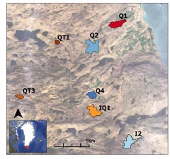
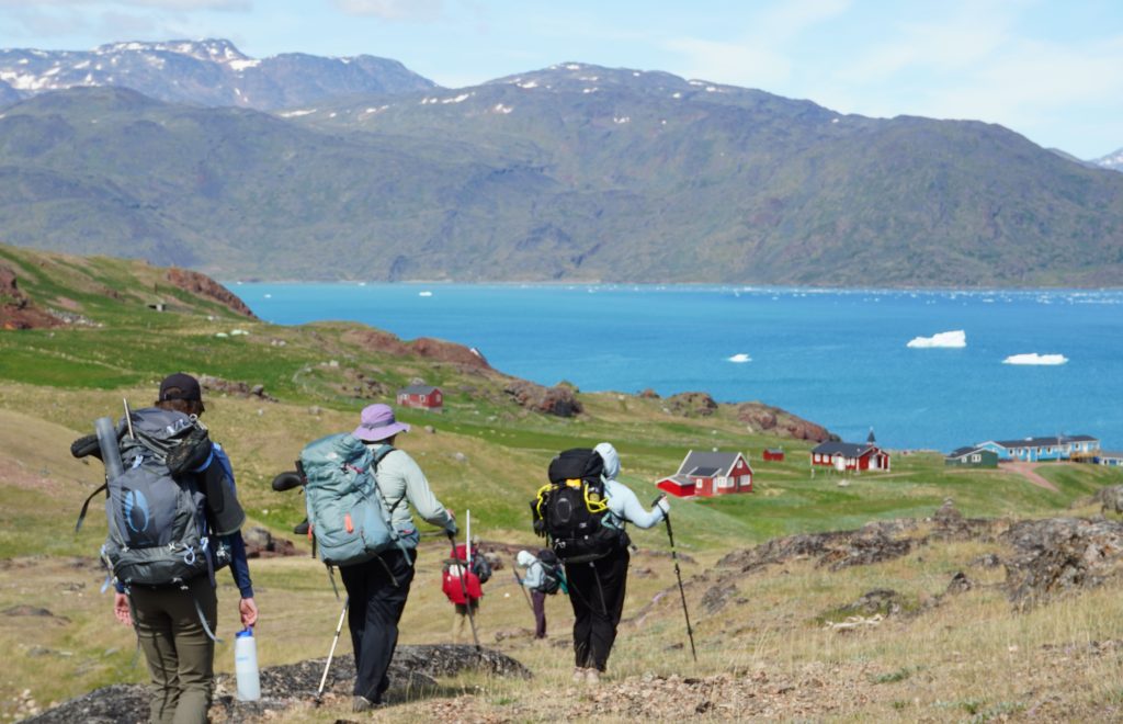
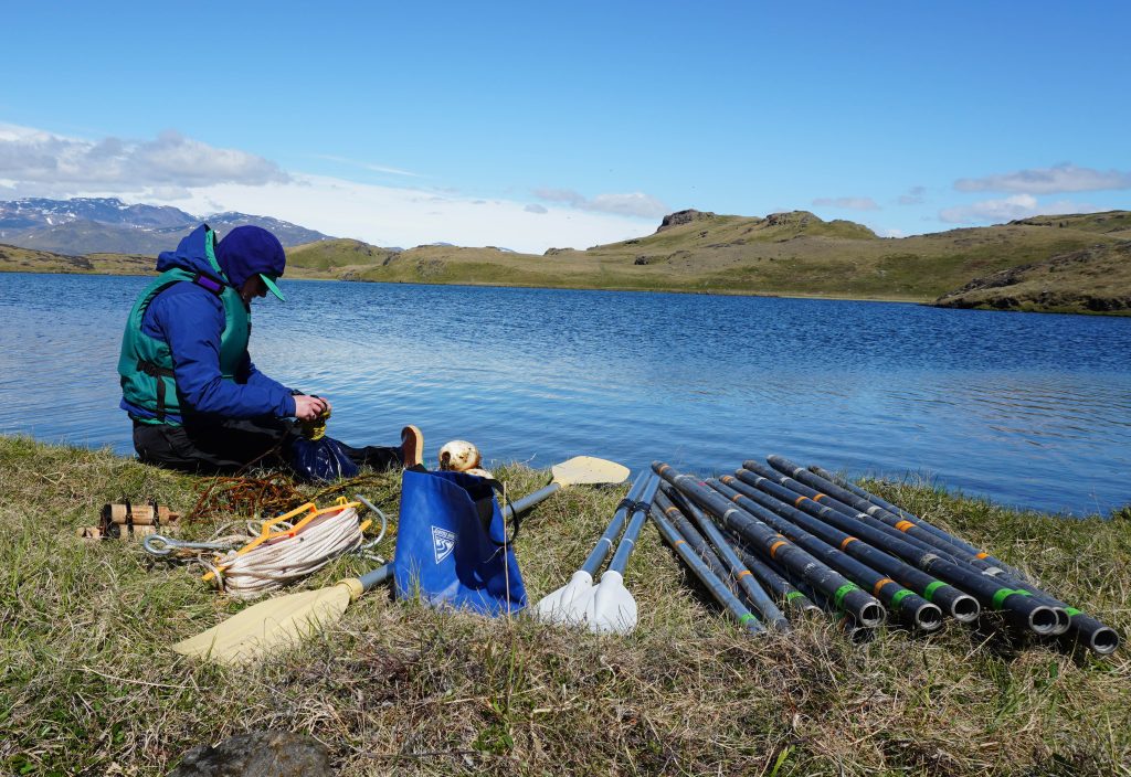
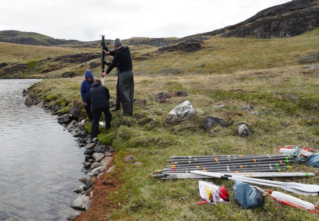
To address these questions, fieldwork took place within the farming district of Qassiarsuk in South Greenland (Figure 1) in June 2026. Fieldwork included the collection of lake water quality samples, buoy sensor data, sediment cores, as well as sampling tributaries, and interviewing farmers. Additional work was also conducted during this field expedition as part of students’ PhD projects based in South Greenland.
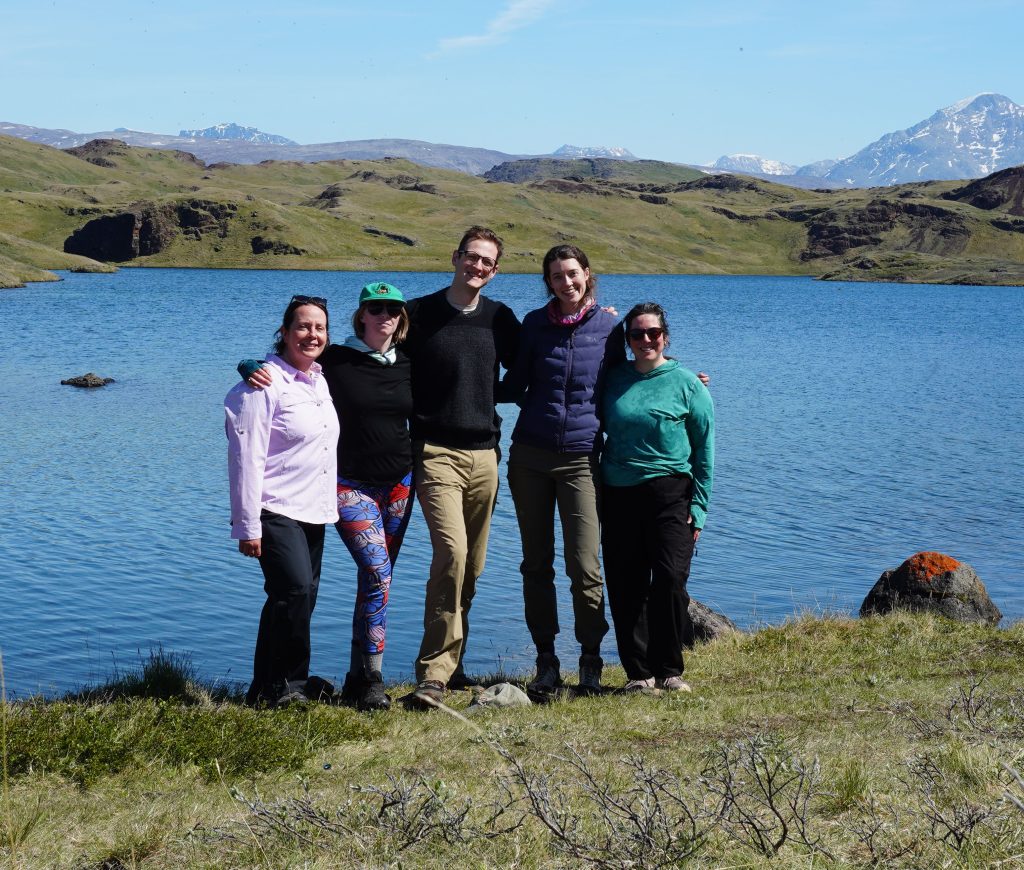
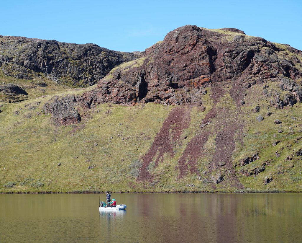
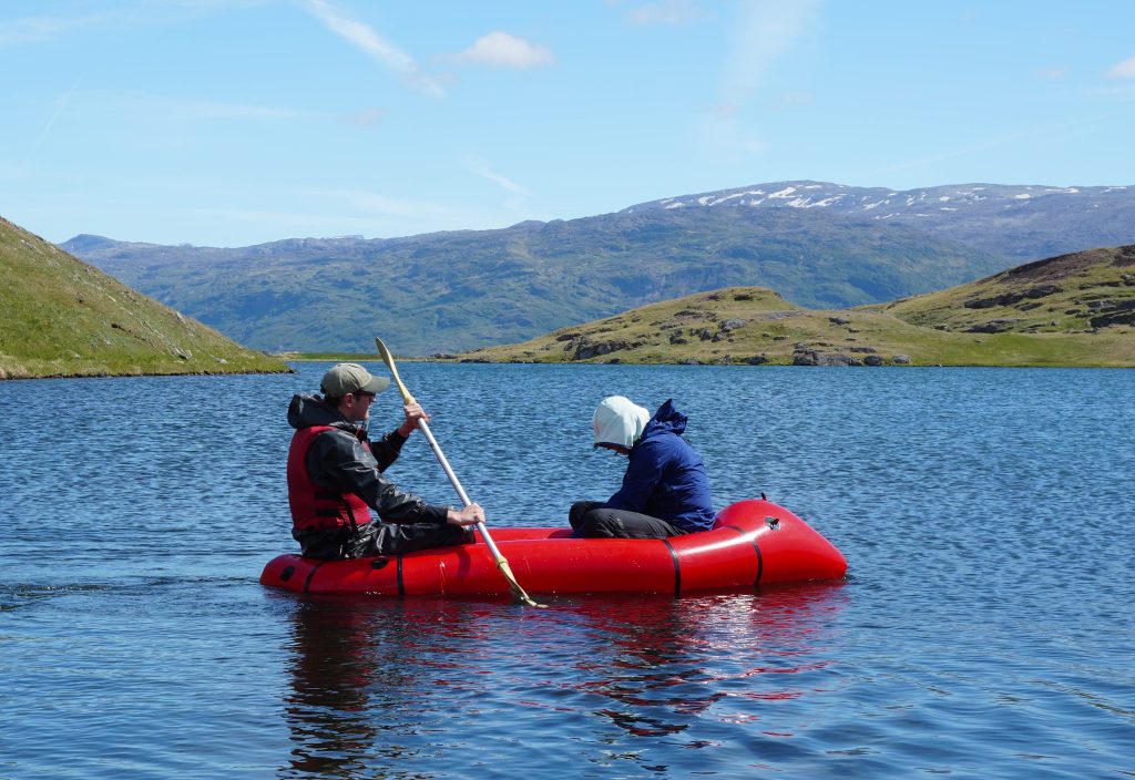
The field team focusing on lake system responses to climate variability (including Jasmine Saros, Amanda Gavin, Avery Lamb, Thomas Grindle, Margaret O’Brien, and Heather Vingsness) visited several lakes around the Qassiarsuk region. To address the first research question, the field team assessed water quality conditions at six lakes. At each lake, water quality samples were collected at different depths for analysis of several water quality parameters (e.g. total and dissolved phosphorus, total and dissolved nitrogen, suspended solids, and chlorophyll-a). A vertical profile of in-situ measurements of the physicochemical variables (temperature, conductivity, pH, turbidity, chlorophyll-a and dissolved oxygen) were also collected with a multiparameter probe. For additional analysis on lake productivity, a vertical profile of phycocyanin (a pigment found in cyanobacteria) was collected. In addition to collecting water quality samples, the field team retrieved previously deployed buoys equipped with lake level, dissolved oxygen, and temperature sensors. Lake level data from these sensors captures daily variability of lake level. Dissolved oxygen and temperature data gives insight into lake stratification, which can be affected by changing lake levels and linked to increased lake eutrophication under low oxygen conditions. Assessing contemporary water quality conditions including nutrient concentrations, in-lake productivity, and lake level variability will provide insight into the current fluctuations of the lake systems in response to a shifting hydroclimatic.
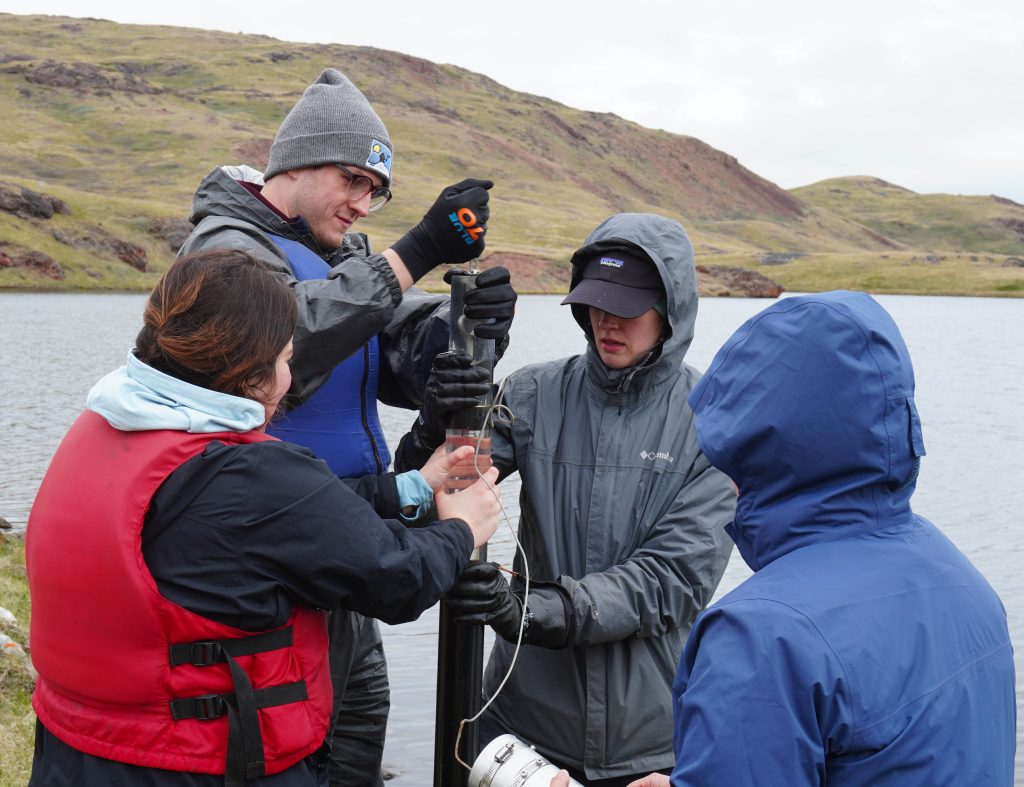
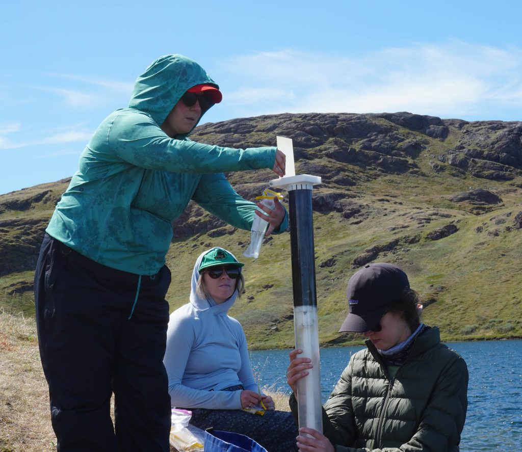
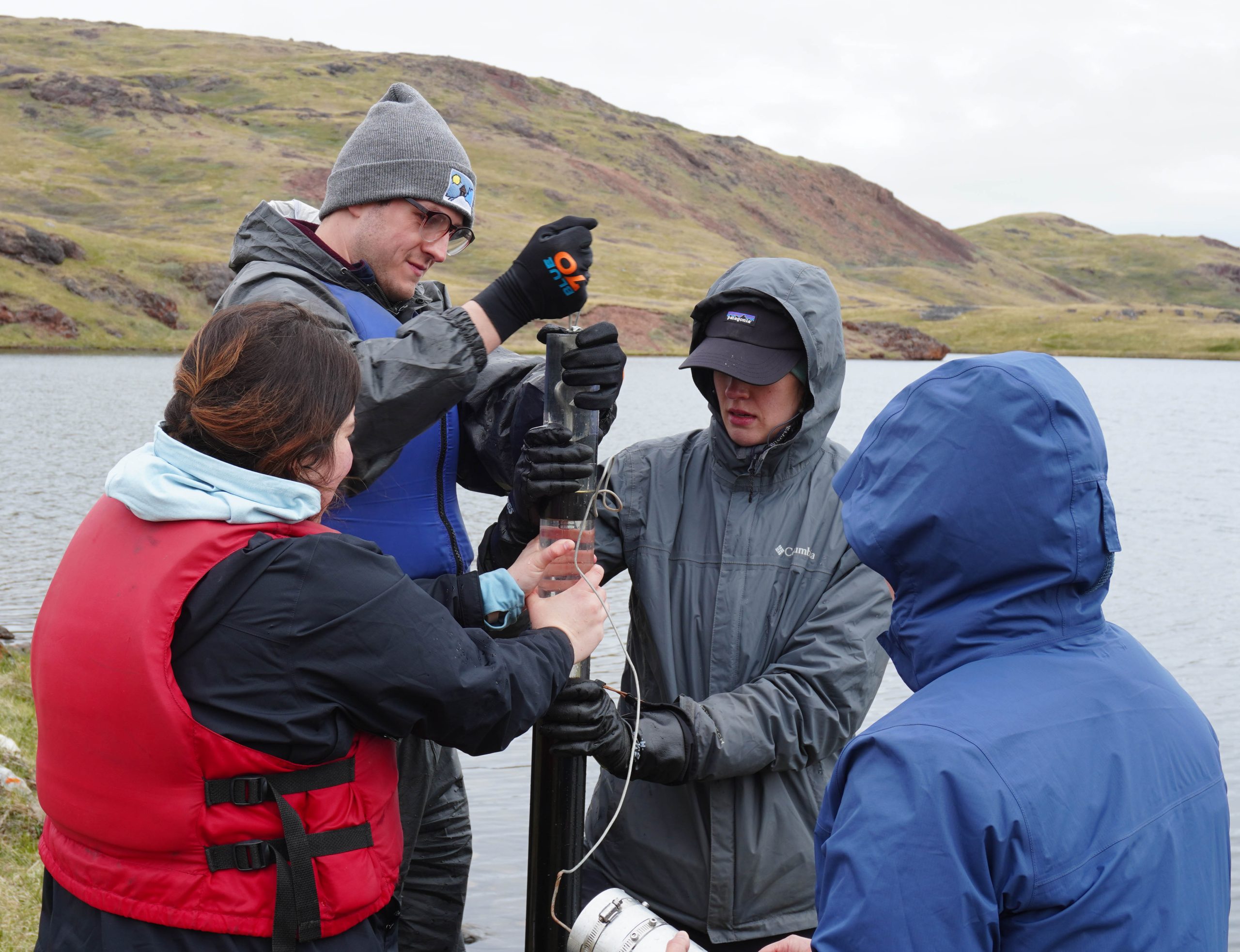
Paleolimnological methods can also be used to assess how climate forcing in the past has impacted freshwater systems. To do this, the team collected sediment cores via the piston coring method. Sediment cores a meter or greater in length were collected at three lakes, representing a period of the past ~2,000 years. These cores were subsampled in the field at 0.5 cm increments. These sediment samples will be processed for diatoms to assess the gradient of lake habitats (planktic versus benthic) over time. Diatom-inferred habitats will be used to reconstruct lake levels over the past 2,000 years. These sediment samples will also be analysed for algal pigments to assess lake-level driven changes in lake productivity over the past 2,000 years. Lake responses to past hydroclimatic variability, including past lake level fluctuations and associated changes in lake productivity, will help to better understand how these systems will respond to predicted future hydroclimate instability.
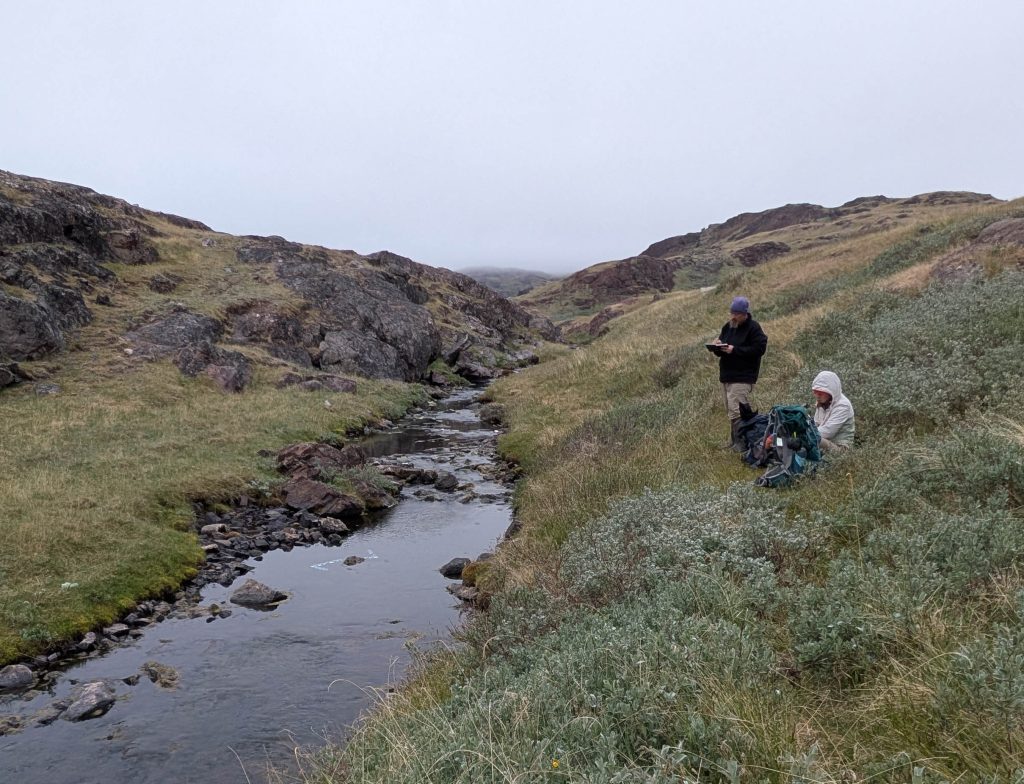
In addition to work on the lakes around Qassiarsuk, a separate field team focused their fieldwork on the lake tributaries (Robert Northington and Elizabeth Wasylyk). The team collected stream discharge measurements and water quality samples, as well as deployed an experiment to look at nutrient uptake within the stream. Another team focused on impacts to the farming community (Kiley Daley), addressing the second research question. The team worked to interview farmers on their water usage to better analyze how climate variability is impacting the farming community.
Additional field work as part of a separate PhD project was conducted in South Greenland to look at a lake’s shifting thermal structures in response to climate change. The team deployed a new buoy with temperature sensors at one of the study lakes. The buoy will collect high-frequency data on lake thermal structure, providing insight into stratification dynamics throughout the year. The data collected will inform efforts to model climatic influence on mixing depth in the region, and bridge the gap between modern climate observation and diatom reconstructions of historical lake conditions to deepen our understanding of climate change past and present.
Acknowledgements:
Funding is provided by the NSF Award No. 2518806.
References:
Arp, C.D., Whitman, M.S., Kemnitz, R., & Stuefer, S.L. (2020). Evidence of hydrological intensification and regime change from northern Alaskan watershed runoff. Geophysical Research Letters, 47, e2020GL089186.
Coumou, D., & Rahmstorf, S. (2012). A decade of weather extremes. Nature Climate Change, 2, 491– 496.
Holmes, R.M., Shiklomanov, A.I., Suslova, A., Tretiakov, M., McClelland, J.W., Scott, L., Spencer, R.G.M., & Tank, S.E. (2021). River Discharge. Arctic Report Card 2021, T.A. Moon, M.L. Druckenmiller, & R.L. Thoman, Eds.
Instanes, A., Kokorev, V., Janowicz, R., Bruland, O., Sand, K., & Prowse, T. (2016). Changes to
freshwater systems affecting Arctic infrastructure and natural resources. J. Geophys. Res. Biogeosci., 121, 567–585.
McCrystall, M.R., Stroeve, J., Serreze, M., Forbes, B.C., & Screen, J.A. (2021). New climate models reveal faster and larger increases in Arctic precipitation than previously projected. Nature Communications, 12, 6765.
Maps and Field photos: