Modern Plant Wax Calibration for Paleoclimate Reconstruction in the Sierra Nevada
Expedition Location: Inyo National Forest, California
Expedition Dates: September 25-29, 2023
Field Team Members: Meghan Spoth (PhD Student, UMaine), Maraina Miles (PhD Student, UMaine)
Funding Support: Dan & Betty Churchill Exploration Fund
Research Background:
What drives droughts in the American West? The position of the westerly winds may influence precipitation amount and pattern in the region, but the timing and mechanisms behind their latitudinal migrations are poorly understood (Pena-Ortiz et al., 2013). This is important because the viability of the West depends on accurate water-resource projections (Wahl et al., 2019). Past work has linked Southwest mega droughts to shifting westerlies on centennial to millennial timescales (Griffin and Anchukaitis, 2014). My dissertation reconstructs past shifts in the westerlies and variations in precipitation to assess linkages between the location of the wind belt and the spatial pattern of droughts over the last 13,000 yrs. This reconstruction will afford insight into the westerlies’ impact on regional precipitation patterns, which will provide long-term context for future water resources in the West. I use plant-wax isotopes from sediment cores in the Sierra Nevada to track changes in plant wax proxies as a proxy for the position of the westerlies.
Field Site:
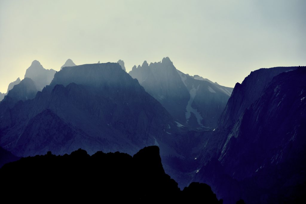
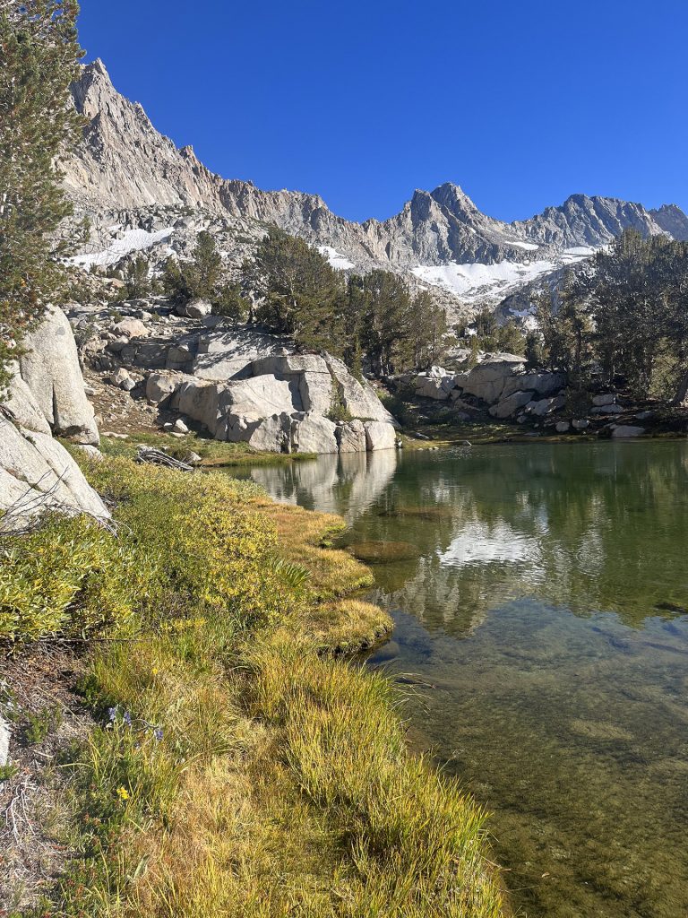
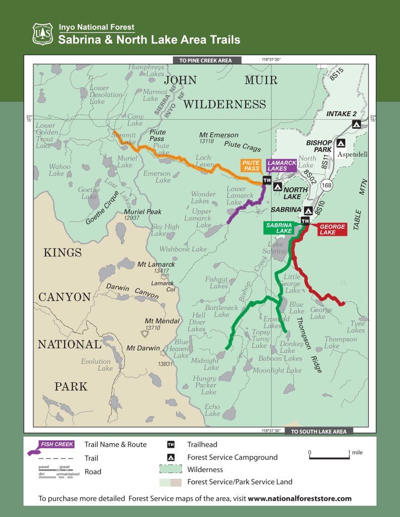
The Sierra Nevada mountain range of California reaches up to 14,000 ft. The topography steers incoming storms (Huang et al., 2020) either north or south of the range, depending on location of the westerlies. This influence makes the high Sierra peaks the ideal location to study shifts in regional precipitation patterns. These granite peaks are host to Baboon Lakes (11,000 ft) within Inyo National Park. As part of my dissertation, I have worked with a sediment core from Baboon Lakes. The sediment record extends to 13,000 years ago and indicates numerous shifts in the local hydrology. This field season was focused on the plant wax produced by local vegetation today to calibrate the paleo-plant wax record from the sediment core.
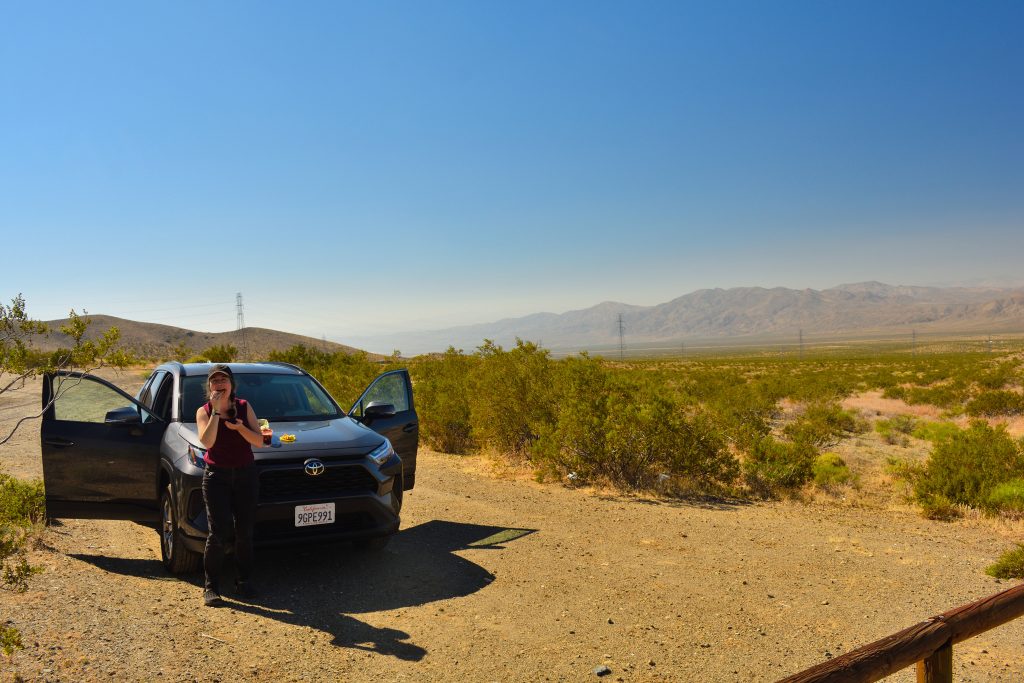
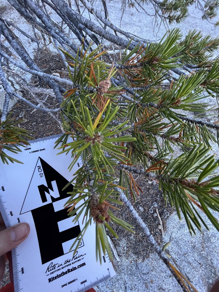
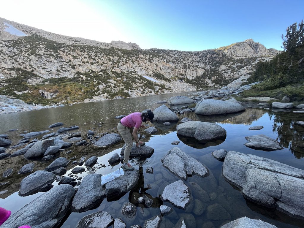
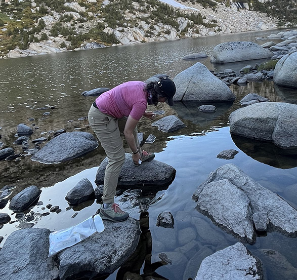
In September 2023, Maraina Miles and I traveled to conduct this modern calibration. We flew from Bangor, Maine to Las Vegas, Nevada then drove to Aspendell, California within Inyo National Forest. The field component began with backpacking the Sabrina Basin Trail for 10 miles over three days to collect plant and water samples at the Baboon Lakes watershed. We surveyed vegetation in the region for the most common plant taxa and collected samples of non-endangered species for plant wax analysis. Most of the trees are white bark pine (Pinus monticola), quaking aspen (Poplar trembulodies), lodgepole pine (Pinus contorta), and dusty willow (Salix melanopsis) and the meadows around the lakes are made up of grasses and alpine owers such as sierra columbine (Aquilegia pubescens). Maraina and I also sampled water samples to calibrate the modern lake isotope signal.
Methods:
Plant waxes in lacustrine sediments provide information on plant communities, precipitation source, lake-water composition, and evaporation trends, among other parameters (Diefendorf and Freimuth, 2017). Plant-wax n-alkanes are odd-numbered carbon chains from C21 to C37 with long chain (C27-C33) for terrestrial plants and short chain (C21-C25) for submerged aquatic plants. My work uses δ2H of long-chain n-alkanes to track δ2H of annual precipitation to measure changes in storm tracks of the westerlies and the short, aquatic n-alkane δ2H values provide evaporation rate changes through time. The plant samples have been sent to collaborators at the University of Cincinnati to extract and identify the n-alkanes produced by each plant taxa and the water samples will be analyzed for their modern isotopic signature. These modern samples will be applied to the 13,000 year plant wax record from Baboon Lakes to determine when and how the westerlies have shifted in the past.
Acknowledgements:
This project has been made possible with the assistance of the Dan and Betty Churchill Grant, the
University of Maine Graduate Student Grant, and the Geological Society of America Graduate
Student Research Grant. My collaborators for this dissertation chapter include Brenda Hall, Aaron
Putnam, and Jacquelyn Gill at University of Maine along with Aaron Diefendorf and Megan
Corcoran at University of Cincinnati. I am also grateful to Inyo National Forest and the USDA for
allowing me to conduct this research within the wilderness region.
References:
Pena-Ortiz, C., Gallego, D., Ribera, P., Ordonez, P., and Alvarez-Castro, M.D.C., 2013, Observed
trends in the global jet stream characteristics during the second half of the 20th century: Journal of
Geophysical Research Atmospheres, v. 118.
Wahl, E.R., Zorita, E., Trouet, V., and Taylor, A.H., 2019, Jet stream dynamics, hydroclimate, and
fire in California from 1600 CE to present: Proceedings of the National Academy of Sciences of the
United States of America, v. 116.
Griffin, D., and Anchukaitis, K.J., 2014, How unusual is the 2012-2014 California drought?:
Geophysical research letters, v. 41.
Huang, X., Swain, D.L., and Hall, A.D., 2020, Future precipitation increase from very high
resolution ensemble downscaling of extreme atmospheric river storms in California: Science
advances, v. 6.
Diefendorf, A.F., and Freimuth, E.J., 2017, Extracting the most from terrestrial plant-derived
n-alkyl lipids and their carbon isotopes from the sedimentary record: Organic geochemistry, v. 103.
Photos: