Los Morteros Ground-Penetrating Radar Study, Chaos, Peru
Los Morteros Ground-Penetrating Radar Study, Chaos, Peru
CCI Participants: Daniel Sandweiss, Joseph Kelley, Alice Kelley, Daniel Belknap; CCI Graduate Students: Kurt Rademaker, Elizabeth Olsen, Cecilia Maurico; CCI Undergraduate Students: David Reid, Owen McGlamery
Dates: July – August 2010
Funding Source: National Geographic Society
Expedition Overview
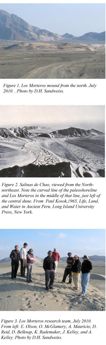
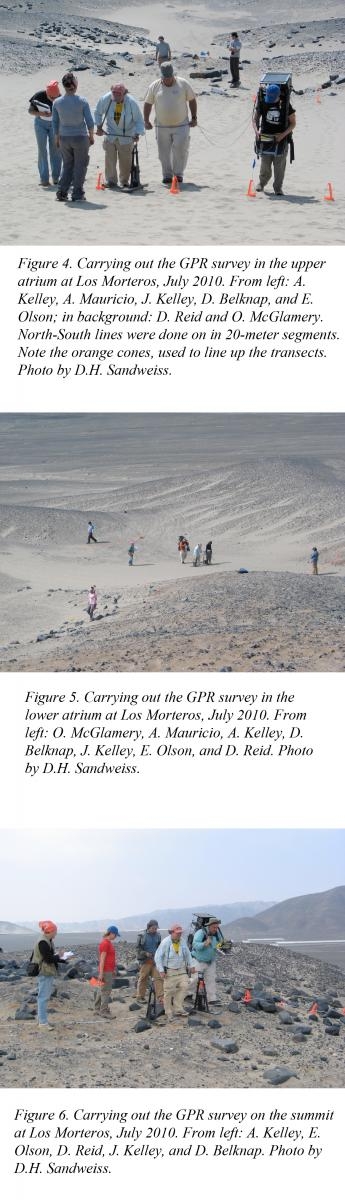
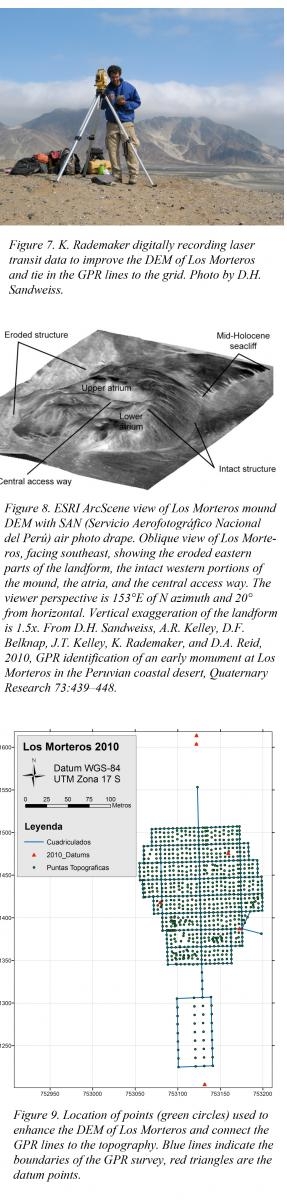
During the second half of July, a team from the University of Maine travelled to Peru to carry out the field portion of the research funded by National Geographic Society Grant No. 8718-09. Our work took place at the Late Preceramic site of Los Morteros (Figure 1) in the Salinas de Chao, a fossil bay on the desert north coast of Peru (Figure 2). Los Morteros is at least 5500 years old, and therefore one of the earliest monumental structures in Peru. In addition to the P.I., the team included three faculty members (A. Kelley, J. Kelley, and D. Belknap), three graduate students (A. Mauricio, E. Olson, and K. Rademaker), one undergraduate student (O. McGlamery), and one former undergraduate student (D. Reid) (Figure 3). We worked under authorization from Peru’s National Institute of Culture (INC) via Resolución Directoral No. 923/INC, issued on April 27, 2010 to Ana Cecilia Mauricio LLonta, a licensed Peruvian archaeologist, project member, and UMaine graduate student.
Fieldwork involved two concurrent tasks: 1) Running Ground-Penetrating Radar (GPR) lines across the site in at 1 meter North-South intervals and 5 meter East-West intervals (Figures 4-6), and 2) enhancing the Digital Elevation Map of Los Morteros (Figures 7 and 8) and shooting in the GPR transect lines (Figure 9).
In total, we ran over 25 kilometers of lines. Although the processing of the data will take many months, we were able to see reflectors in the field that clearly indicate the presence of structures below the surface. We also discovered a low area to the south of the main mound that also appears to be anthropogenic in origin; we were able to run a 5 x 5 meter grid of lines across that area and expect to gain some insight into additional site functions. Finally, we ran one transect line down the steep, eroded southeast face of the mound to guide future work—because El Niño runoff over the millennia has cut into the mound at this point, we expect that excavations there would reveal the full sequence of construction and allow dating of the different construction phases without dismantling any extant monumental architecture (which would not likely be permitted even were it scientifically advisable). We intend to seek funding to carry out this research when we have finished analyzing the data from last summer.