Basal Ice Core Pilot Study: Nevado Osjollo Anante, Cordillera Vilcanota, Peru
Basal Ice Core Pilot Study: Nevado Osjollo Anante, Cordillera Vilcanota, Peru
Expedition Team: Charles Rodda,*ab Skylar Haines,ab Anton Seimon,bcBaker Perryc
a) UMaine School of Earth and Climate Sciences, b) Climate Change Institute, c) Appalachian State University; Boone, North Carolina
*Please direct questions and further communications to the author
July 12 – August 1, 2013
Cordillera Vilcanota, Peru
While excellent long-term climate records have been recovered from ice sheets in Greenland and Antarctica, past changes – and in particular abrupt changes – in the climate of the low latitudes are comparatively poorly understood. Our understanding of past global climate patterns would be greatly served by a better understanding of the climate history preserved in low latitude alpine glaciers and ice caps. Nowhere on Earth is there a greater concentration of tropical glaciers than in the Andes of Peru. The need to recover information from Peruvian glaciers is made all the more urgent by the fact that they are currently melting rapidly, threatening the destruction of the information they contain, and greatly jeopardizing indigenous rural and modern urban populations that rely on glacial melt water for irrigation, drinking water and power generation.
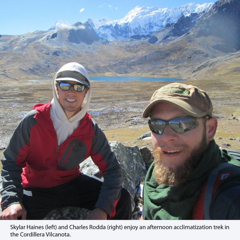
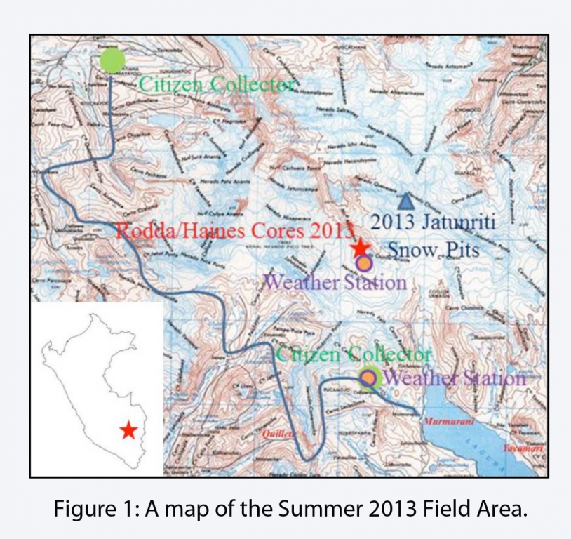
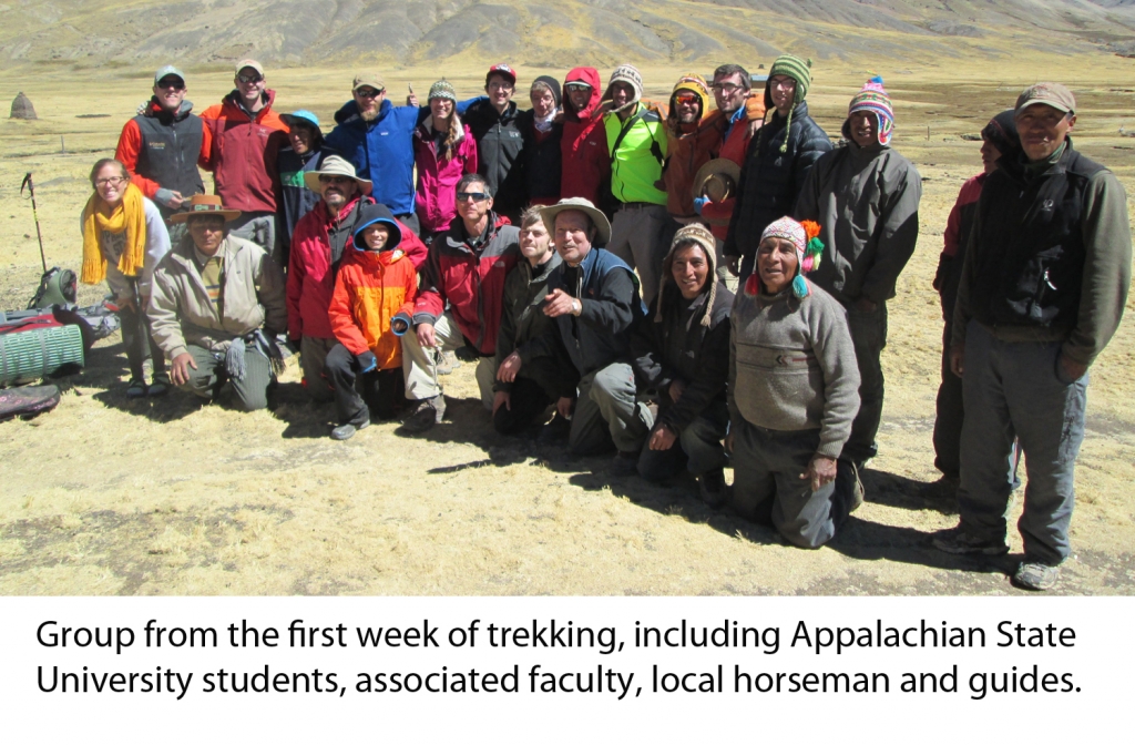
In July and August of 2013, utilizing the funding provided by the Churchill Expedition Fund our research team made an expedition to the Cordillera Vilcanota in the high Andes of southern Peru to recover ice from a small alpine glacier. We travelled by air to Cusco, Peru where we provisioned and joined a group from Appalachian State University, then travelled by bus to the village of Pukarumi. To help acclimatize to the high elevation of our field site (over 5500m) and to gain a preliminary understanding of the natural and cultural landscape of the region, our combined group trekked over several major mountain passes, and finally to the villages of Murmurani and Sallma (blue path on figure 1). We spent evenings discussing a series of scholarly articles about the region, and talking to the local herders who were acting as horsemen and guides for us.
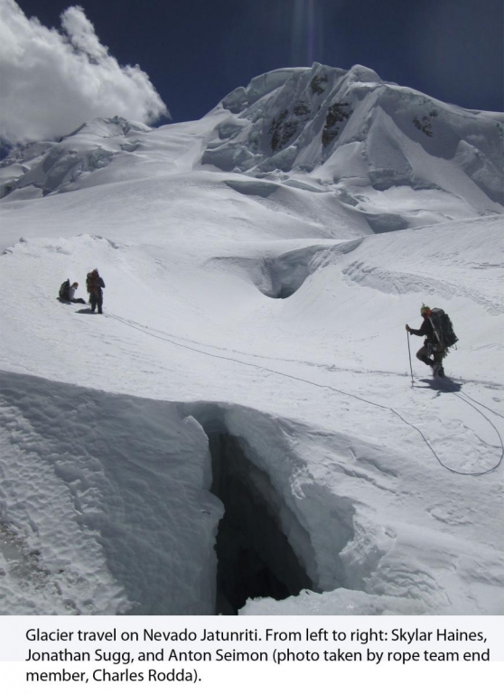
The primary scientific goal of the expedition was to recover one or more short sections of ice core from exposed deep sections of a glacier on the mountain Nevado Osjollo Anante (hereafter, NOA) that had been previously reconnoitered by expedition member, Anton Seimon. The core sections were to be returned, frozen, to the University of Maine, so that we could analyze their trace-element chemistry in the new Keck Laser Ice Facility. Our hope is that the extremely high resolution afforded by this system will allow us to sample and recognize the ice from individual storm events in these cores. In addition to recovering our ice cores, we had several secondary goals. These included the recovery of data-loggers from and maintenance of two weather stations in the NOA region, collection of snow samples from the uppermost several meters of the snowpack on Nevado Jatunriti – a mountain adjacent to NOA- and interfacing with two “citizen scientists” living in the area. Expedition members Seimon and Perry have provided equipment and training to several local citizen scientists so that they can collect data and samples from each precipitation event that occurs in the NOA region. The chemistry of the samples from our snow pit and precipitation samples collected by the citizen scientists will be used in conjunction with the information from our weather stations to interpret the significance of the ice core data.
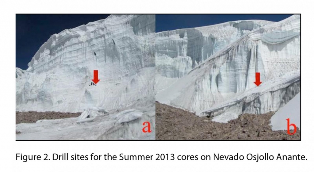
The geometry of the NOA glacier is uniquely suited for reconnaissance sampling of deep sections of the glacier using a lightweight hand-operated drilling system. The glacier is retreating rapidly on its flanks, exposing several basal sections as striking vertical faces along its relatively accessible southeast margin. These faces display distinct horizontal layers (apparent in figure 2) that are presumed to represent annual layering. (Trace element chemical and oxygen isotope analyses should help us to test that assumption.) During our expedition, we were able to identify and prepare two small horizontal drilling platforms on the margins of the NOA glacier, one on a small buttress on a south-facing wall and one on a more east-facing wall adjacent to a long snow ramp that we used to access the summit of the glacier (figure 2, a and b, respectively).
We were able to extract a core from each site, both ca. 2.5m in length. Overcoming serious logistical and physical challenges, we were able to transport sections of both cores to the Climate Change Institute in excellent condition. Using the high-resolution laser-melter, initial measurements of Calcium, Magnesium and Sodium concentrations on one section of core show promising data preservation. Additional analyses, including Oxygen and Hydrogen isotope measurements, are underway. In addition to the ice cores, we were able to bring back 103 samples from our snowpit on Jatunriti (see figure 1) and over fifty precipitation samples from our citizen scientists. We will be analyzing the oxygen isotopes and trace element chemistry those samples, as well.
Due to better-than-expected weather and excellent drilling conditions, we were able to finish our drilling mission on Nevado Osjollo Anante several days earlier than we had originally anticipated. We used our extra time to undertake a second short reconnaissance trek into a region (Qoyllority) that we had observed at a distance from our field area. We chose to look at this region because it appeared, from our vantage, to contain glaciers with geometry suitable for ice-core drilling. While we did confirm the presence of an ice-filled bowl that might be suitable for drilling, we were unable to find any obvious pathway by which we might access that glacier or recover ice samples. As such, the glacier on NOA continues to offer the most useful combination of quality climate record and accessibility for our continued study of tropical paleo-climate.


