Evaluating the Spatial Distribution and Continuity of Snow and Firn Stratigraphy
Expedition Location: Eclipse Icefield, Kluane National Park and Reserve, Yukon, Canada
Expedition Dates: June 2023
Field Team Members:
Renée Clavette (PhD Student, UMaine) Field Trip Leader, Inga Kindstedt (PhD Candidate, UMaine), Emma Erwin (PhD Student, UMaine), Kailey Mannello (Master’s Student, UMaine).
Funding Support: Churchill Exploration Fund, UMaine Graduate Student Government, The Golden Family Foundation – UMaine Sea to Sky
Background & Study Area:
The objective of this project is to determine the continuity of snow and firn stratigraphy and characterize its spatial distribution at Eclipse Icefield, YT, Canada. This region, located at ~3000 meters above sea level in the St. Elias Mountains, experiences high accumulation rates and minimal melt (McConnell, 2019; Yalcin et al., 2003). The accumulation zones of alpine glaciers are important reservoirs for surface meltwater thus having downstream impacts on watersheds, ecosystems, and water resource management. Glaciers in Alaska and western Canada are losing ice mass faster than any other region in the world (Zemp et al., 2019). As glaciers ablate, their accumulation zones shrink and equilibrium line altitudes (ELA) retreat to higher elevations. This eventually introduces more surface melt to areas that previously experienced small amounts of melt (Pelto, 2019).
Melt percolation and refreezing can interfere with paleoclimate analyses of ice cores by altering isotopic signals (Moran & Marshall, 2009). At this particular site, stratigraphic continuity is important to characterize due to this being a past site for ice coring and will put firn cores collected during this field season into spatial context. Variations in snow and firn stratigraphy may indicate differences in accumulation and/or melt across a relatively small area. However, very few studies in this region have investigated snow and firn properties at a fine enough resolution to upscale observations to larger systems.
This Eclipse field season was one of my first field experiences and provided me with skills that I applied to the remainder of my summer doing research on the Juneau Icefield. Working with a field team that was more experienced than myself taught me a lot about conducting research in a cold and higher-elevation environment. It also gave me exposure to different methods of data collection that I hope to employ as I move forward in my PhD.
Methods:
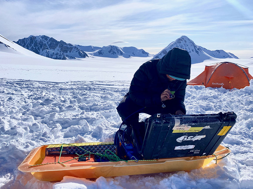
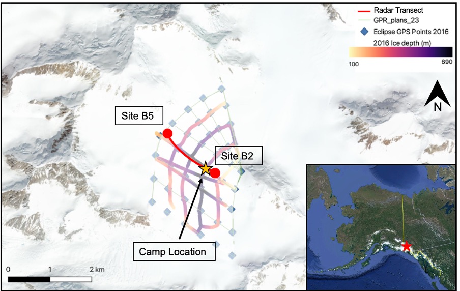
Initially, the proposed work on Eclipse Icefield included using a multi-offset (MO) GPR system operating at a frequency of 1 GHz. This system consists of one transmitter and multiple receivers spaced at regular intervals. In general, GPR is a useful tool in identifying changes in stratigraphy since radio waves travel at different speeds in different materials due to their varying electrical properties. Although the MO GPR system would have provided better-constrained radio wave velocity and therefore better-constrained material density, we were unable to procure a MO system prior to our field expedition due to unforeseen challenges. Instead, we used a 900 MHz frequency common offset (CO) GPR system to perform similar analyses, which consists of one transmitter and one receiver. We collected two radar transects between two firn coring sites (B5 and B2 in Figure 1) where we obtained cores for Inga Kindstedt’s firn density analyses as part of her PhD work. Despite the challenges we faced in completing the proposed research, it was still an invaluable learning experience for me to work with the 900 MHz system and apply what I learned to other radar systems for my PhD research.
Preliminary Results:
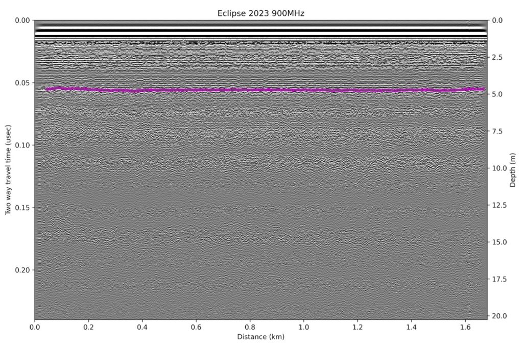
Although we faced the equipment challenges of not acquiring the MO system and having delays in core drilling due to troubleshooting the generator and the drill, the field season was still successful. We collected radar data, firn cores, and GPS points which will give us a better understanding of the snow and firn properties at Eclipse Icefield. Our preliminary findings from the 900 MHz data suggest that snow and firn layers are continuous between the two core sites and do not vary significantly in depth (Fig. 2). Subsequent analyses will include more in-depth processing of the radar data and measuring layer thickness to compare with Inga’s core results.
Acknowledgments:
This research is possible because of the support from multiple sources including the Churchill Exploration Fund. Fieldwork was also funded by the UMaine Graduate Student Government and the Golden Family Foundation through UMaine’s Sea to Sky program. This funding was crucial to the success of this field season and is greatly appreciated. We are also grateful for the logistical support from the staff at Kluane Lake Research Station, Icefield Discovery, and our mountain guide, James Minifie. This research was conducted on the traditional lands of the Kluane, Champagne, and Aishihik First Nations peoples.
References:
McConnell, E.A., n.d. Mechanisms of Ice Core Stable Isotope Variability in the Upper Kaskawulsh-Donjek Region, St. Elias Mountains, Yukon, Canada.
Moran, T., Marshall, S., 2009. The effects of meltwater percolation on the seasonal isotopic signals in an Arctic snowpack. J. Glaciol. 55, 1012–1024. https://doi.org/10.3189/002214309790794896
Pelto, M., 2019. Exceptionally High 2018 Equilibrium Line Altitude on Taku Glacier, Alaska. Remote Sensing 11, 2378. https://doi.org/10.3390/rs11202378
Yalcin, K., 2003. A 100-year record of North Pacific volcanism in an ice core from Eclipse Icefield, Yukon Territory, Canada. J. Geophys. Res. 108, 4012. https://doi.org/10.1029/2002JD002449
Zemp, M., Huss, M., Thibert, E., Eckert, N., McNabb, R., Huber, J., Barandun, M., Machguth, H., Nussbaumer, S.U., Gärtner-Roer, I., Thomson, L., Paul, F., Maussion, F., Kutuzov, S., Cogley, J.G., 2019. Global glacier mass changes and their contributions to sea-level rise from 1961 to 2016. Nature 568, 382–386. https://doi.org/10.1038/s41586-019-1071-0
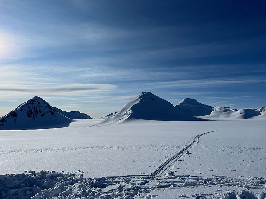
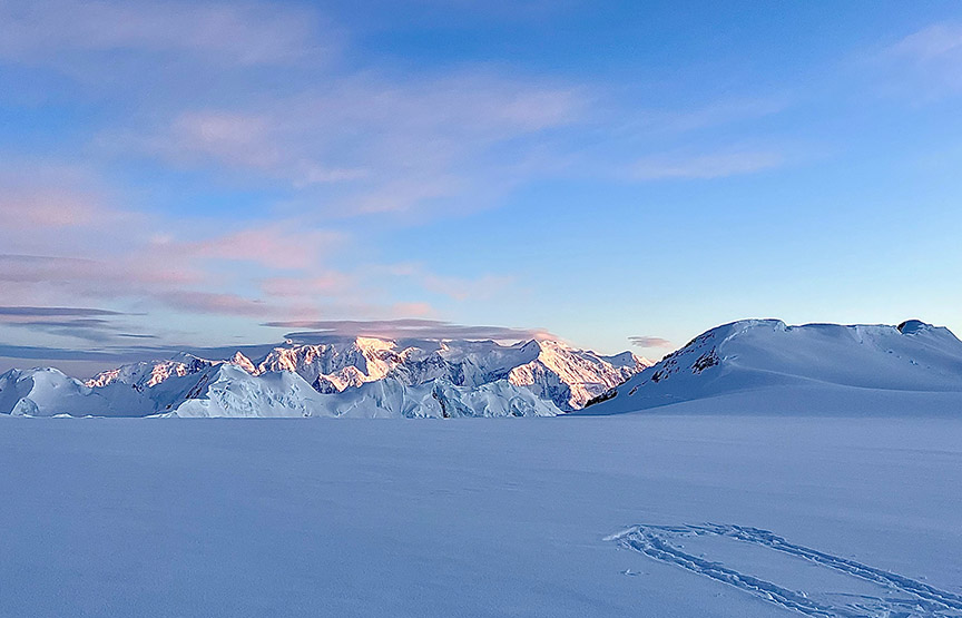
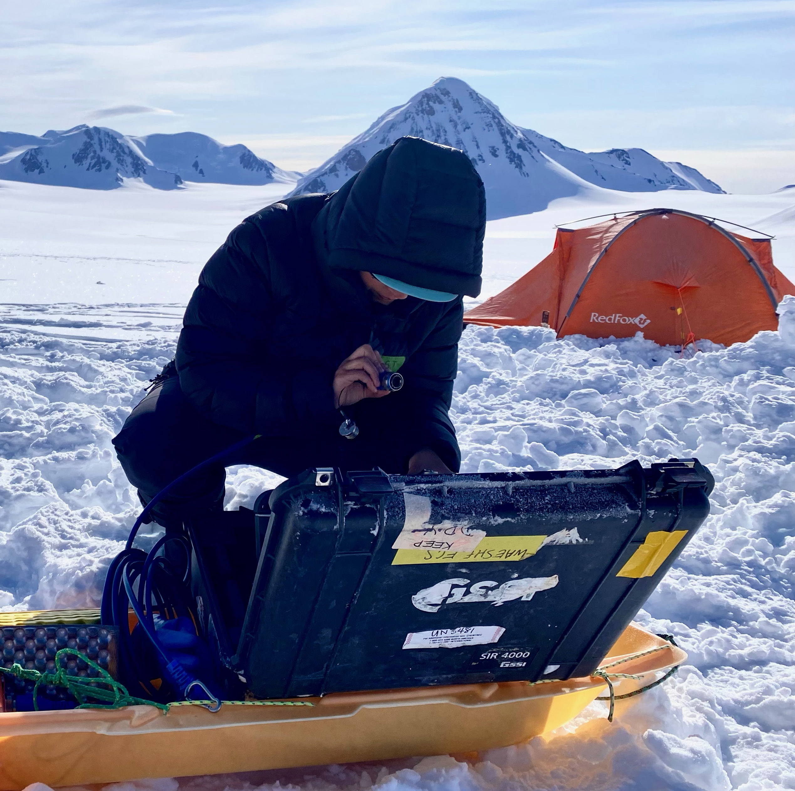
Field Photos: