
Alpine Plants of Katahdin: Resurveying High Elevation Plants after 33 Years
Expedition Team Members:
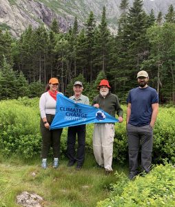
Andrea Tirrell¹², Michael Cianchette¹, Charlie Cogbill³, Don Hudson⁴, Jacquelyn Gill¹²
¹School of Biology and Ecology, University of Maine
²Climate Change Institute, University of Maine
³Harvard Forest, Harvard University
⁴Baxter State Park Research Committee, Maine
Expedition Location: Baxter State Park, Maine
Expedition Dates: Summer/Fall 2022
Funding Support: Maine Outdoor Heritage Fund
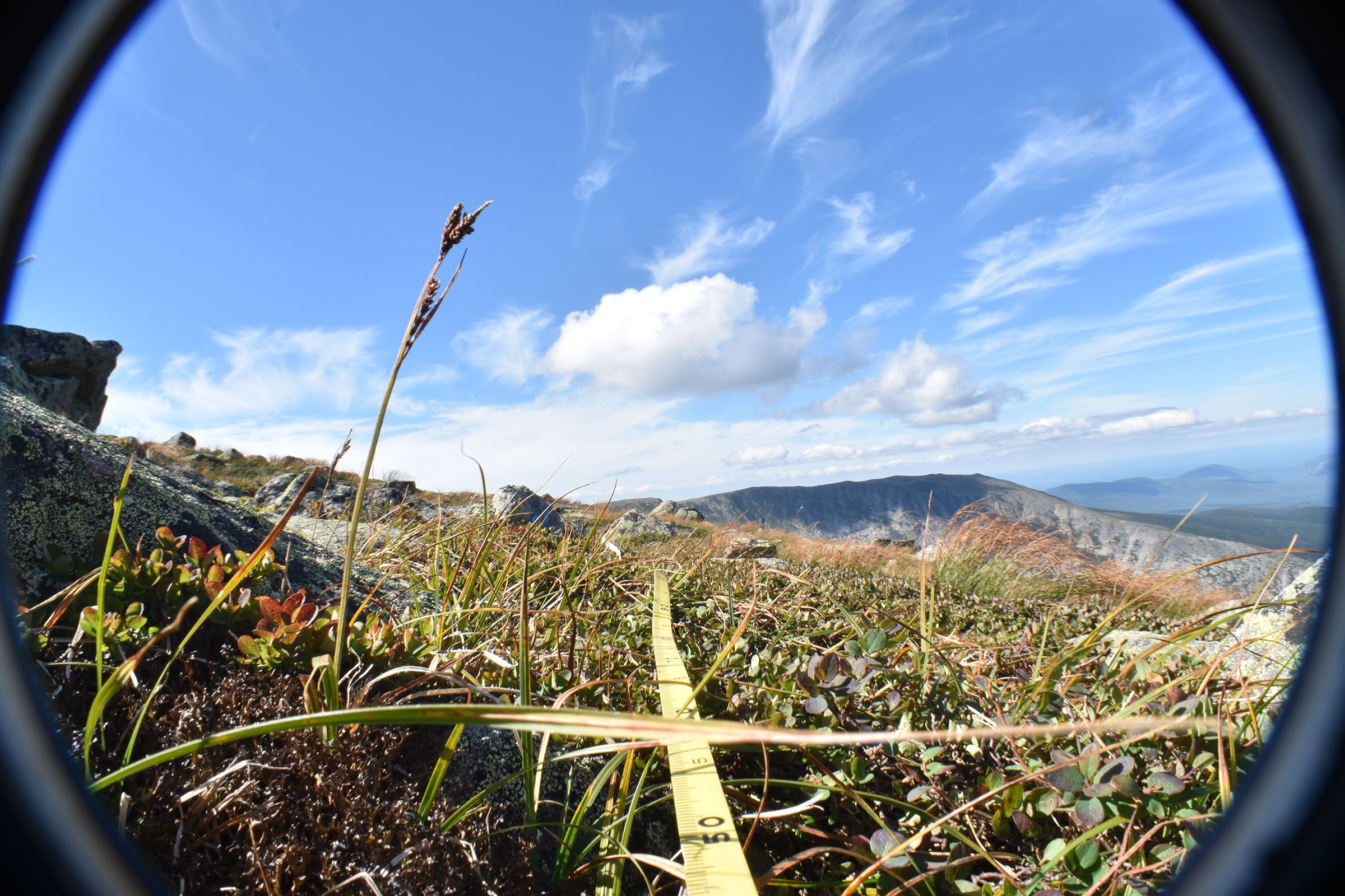
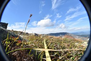
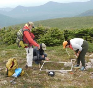
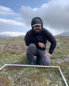
33 years later, we completed the first complete resurvey of Katahdin’s high elevation plant communities. Utilizing the original photos and site descriptions, we were able to find or approximate each original transect site. We also utilized differential GPS, which has centimeter level accuracy, and 3D image photography, to permanently and virtually mark transect locations. That way, future surveyors can find and resample these sites with ease.
Research Outcomes:
The surveys completed during the summer of 2022 will serve as a comparison of alpine plant community structure through time on Maine’s most iconic peak. Such resurveys are not common, so having this record of alpine plant community change will be a unique opportunity. Especially during a time of climate change and increased hiker activity, understanding how Katahdin’s alpine plant communities may have changed is critical to their conservation. These resurveys could help identify areas of Katahdin in need of increased conservation efforts.
Funding Source:
We would like to thank our funding source, the Maine Outdoor Heritage Fund, for making these resurveys possible. Without their contribution to the project, we would not have been able to complete the resurveys, or virtually mark them with updated techniques.
![]()