
Modeling energy balance and melt layer formation on the Kahiltna Glacier, Alaska
Kahiltna Glacier, Alaska – Denali National Park
Modeling energy balance and melt layer formation on the Kahiltna Glacier, Alaska
Dom Winski, Seth Campbell, Karl Kreutz
A pressing scientific issue in glaciology is assessing the impact of climate change on glacier mass balance, local hydrology, and sea level rise. To address this issue, a detailed physical understanding of the factors that dominate the glacier retreat rate is necessary. In Alaska mass balances have been negative across the state with Central Alaska experiencing balances of -0.31m/yr in the last 50 years (Berthier et al. 2010). This study quantifies the affects of meteorological parameters on the amount of surface snow melted over the course of a summer. The Kahiltna Glacier in Denali National Park, Alaska was chosen as the study site due to the evidence that Alaskan climate is warming disproportionately and Alaskan glaciers are responsible for as much as 25% of sea level rise (Arendt et al. 2002, Berthier et al. 2010).
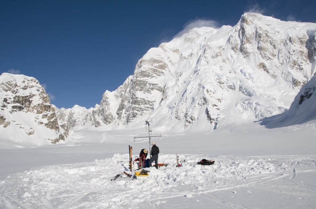
To address the question of how climatic variables influence glacier mass balance in the Central Alaska Range, we chose to construct an energy balance model at Kahiltna Base Camp (KBase). Kbase is located in the accumulation zone of the Kahiltna Glacier at 2134 meters above sea level. Using a simple conservation of energy equation at the glacier surface our group has described an energy budget which yields an hourly series of surface meltwater production values at Kbase throughout the 2008 melt season.
During May, 2010 we plan to calibrate and improve the current model based on 2008 weather data by measuring surface albedo and roughness, and collecting meteorological data from the AWS station spanning the 2009 melt season. Collection of snowpack temperature gradient data will quantify conductive heat transfer, while dye tracing experiments will identify patterns in the depth of refreezing. Snowpits sampled at 2134, 3050 and 3920 m a.s.l. and GPR (ground penetrating radar) melt layer tracking will help to spatially integrate the model, and comparison of melt layer stratigraphy to modeled results will serve as calibration. Once complete, the results of this study will provide the basis for climate reconstruction by melt layer stratigraphy as well as a method of predicting run-off response and glacier mass balance as a function of specific climate parameters.