Behavior of the Cordillera Darwin Icefield during the Last Termination
Expedition Location: Tierra del Fuego, Chile
Expedition Dates: March 7-April 5, 2024
Field Team Members: Dr. Brenda Hall* (co-PI), Dr. Thomas Lowell* (co-PI), Dr. Rodrigo Soteres (Postdoc), Meghan Spoth (PhD student), Maraina Miles (PhD student), Sera Thomas (MS student), Annika Schmidt (MS student)
Funding Support: Dan and Betty Churchill Exploration Fund
Introduction
How rapid was the warming at the end of the last ice age? A variety of hypotheses have been put forward to explain the rapid warming that occurred approximately 18,000 years ago across the mid to high latitudes of both hemispheres. The timing and magnitude of these changes are important to sort chronologically on both global and regional scales to determine the drivers versus the effects of the termination of the last ice age. By studying the termination, we can understand the characteristics, timing, and underlying causes of abrupt climate changes better. These insights can inform models used for the prediction of future climate change. This project focuses on the timing, pace, and structure of the last termination in Cordillera Darwin, Chile to evaluate hypotheses for the driver of the termination specific to the southern hemisphere mid latitudes.
Field Site
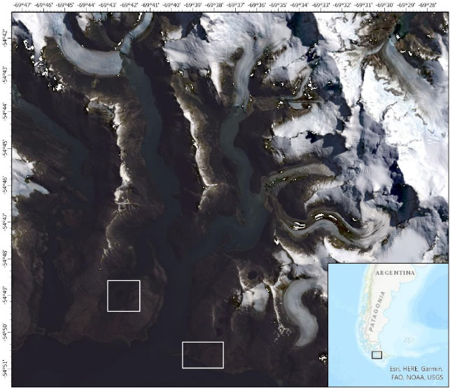
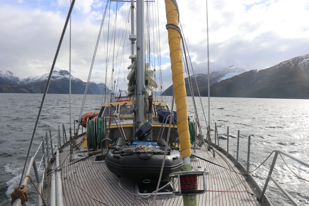
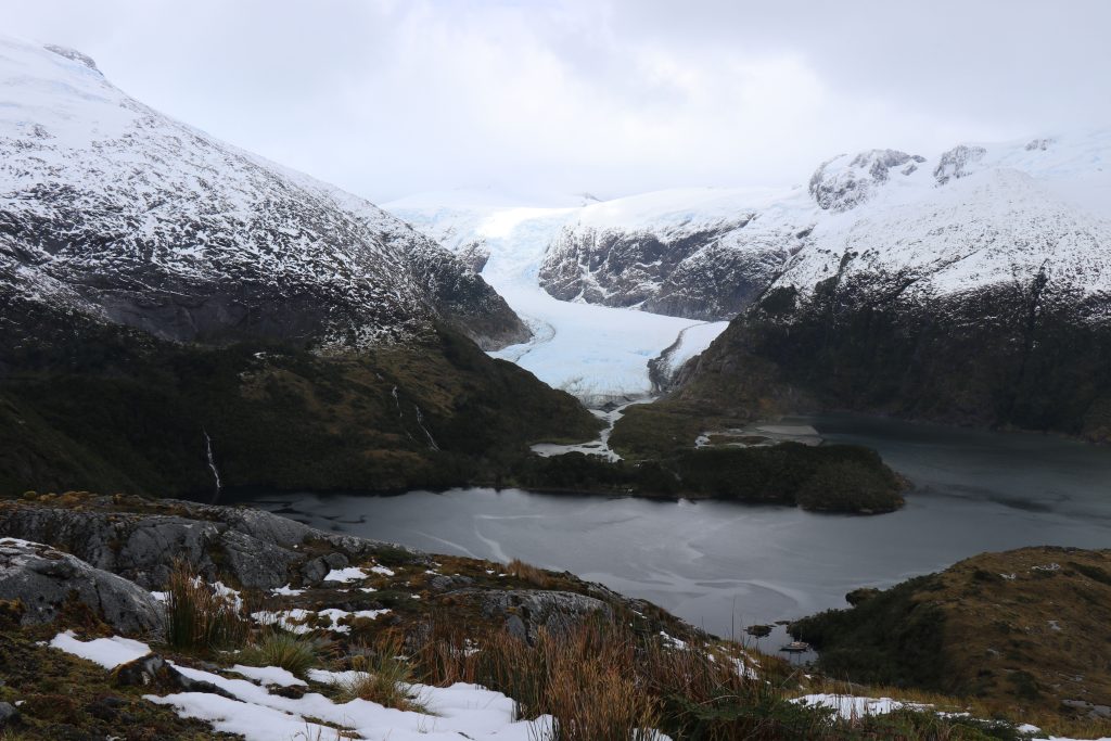
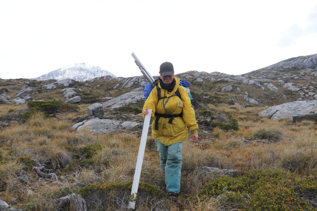
This study will focus on the southern interior of the icefield near Bahía Pía (Pía fjord, Fig. 1) of Cordillera Darwin on the Beagle Channel to determine when ice retreated into the heart of the mountain range close to the present-day glaciers. This range is located at the southernmost part of the South American continent and forms some of the southernmost islands of the region. To travel to the areas of interest in the area, we traveled primarily by sailboat on the Ocean Tramp (Fig. 2) to circumnavigate the two main branches of the Beagle Channel to the west and Isla Grande to the east. The region is carved by large alpine glaciers and ice caps that are still visible today along the maze of fjords (Fig 3) while the landscape is a mosaic of open bogs and densely packed forests of Southern Beech trees (Nothofagus). The area is protected as a part of the Parque Nacional Alberto de Agostini of Chile and the area has limited trails to use or infrastructure (Fig 4).
Methods
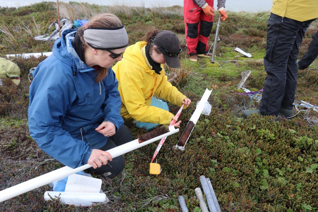
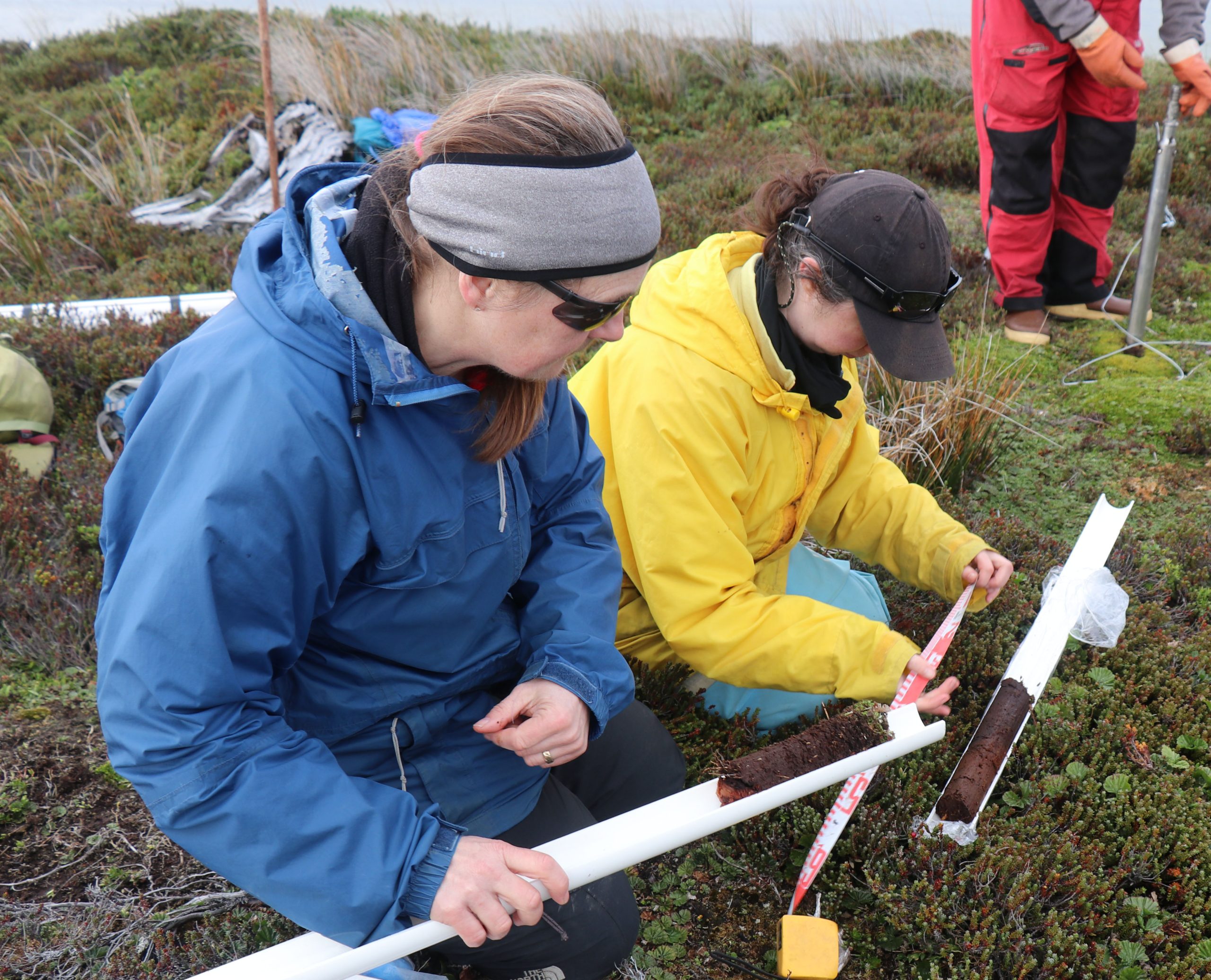
In this Spring 2024 field season, we continued our research in a small valley west of Bahía Pía where preliminary field work in 2023 identified bogs suitable for obtaining basal radiocarbon dates as minimum ages for ice retreat. We used a piston corer to reach the basal glacial clay layer to capture the entire deglacial period. The stratigraphy of the cores were noted in the field with a focus on sediment type and color (Fig 5), along with macrofossils then shipped to UMaine for further processing and dating of the stratigraphically lowest macrofossils for minimum basal ages. The minimum ages will be applied to a regional map to determine patterns in local deglaciation histories. In addition, the longest/best-preserved core will be transferred to collaborators at the University of Chile for pollen analysis to characterize climate conditions during deglaciation.
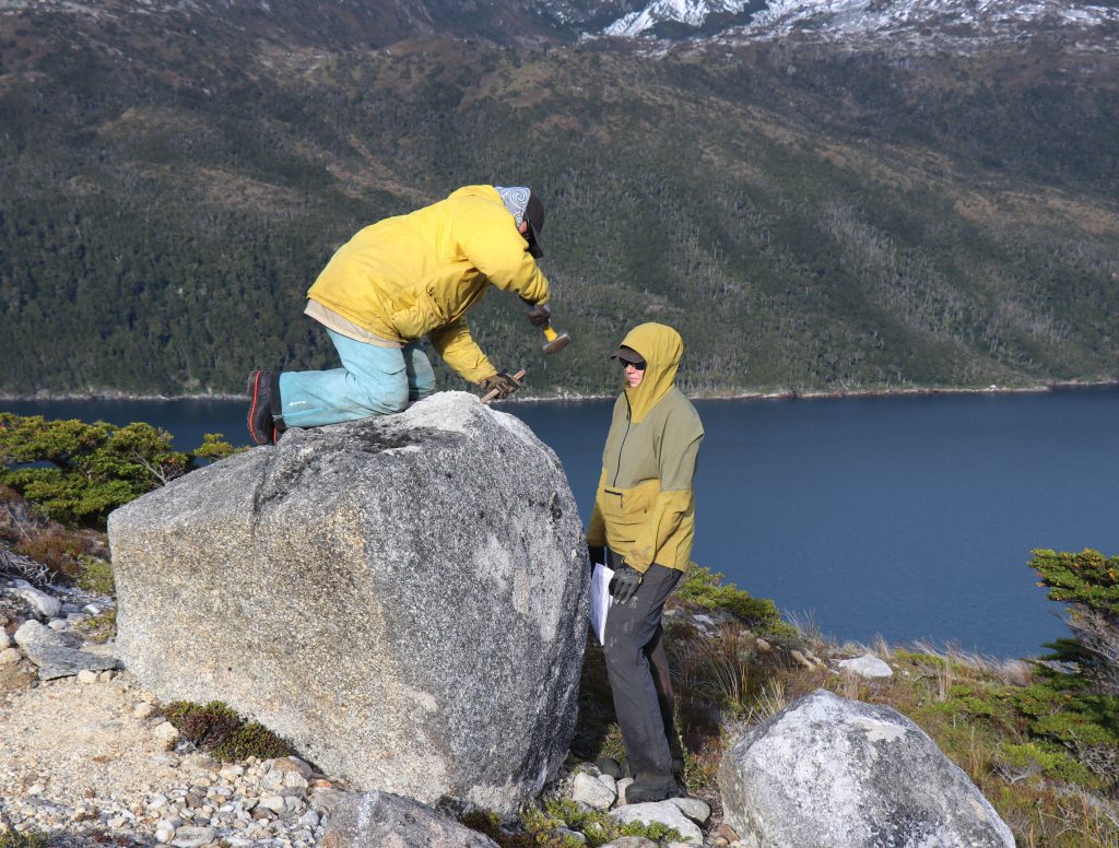
Boulders were selected on geologic glacial features, such as moraines and scoured bedrock, to determine the timing of glacial retreat. Subsampling of boulders requires a hammer and chisel or a drill to extract the top surface (Fig 6). All rock samples were shipped back to UMaine for cosmogenic exposure age dating processing.
Results and Significance
We have successfully sampled over 30 cosmogenic samples from the Bahía Pía region in addition to a complete peat core and about a dozen basal ages. Preliminary ages from the cosmogenic and basal samples indicate that the moraines of the region were occupied by ice lobes during deglaciation of the last ice age (~20,000-10,000 years ago) and the moraines record a relatively rapid retreat of ice up valley. Analysis of the peat core will provide additional context about the local climate conditions during this deglacial period and indicate how sensitive the ice margins are to shifts in both temperature and precipitation amount. With ongoing sample processing, the findings of Bahía Pía will be compared to other sites visited during this field season along with the wider Cordillera Darwin region.
Acknowledgements: This project has been made possible with the assistance of the Dan and Betty Churchill Grant and the University of Maine Graduate Student Grant. I am also grateful to Parque Nacional Alberto de Agostini of Chile for allowing me to conduct this research within the wilderness region.
Maps and Field Photos:
